
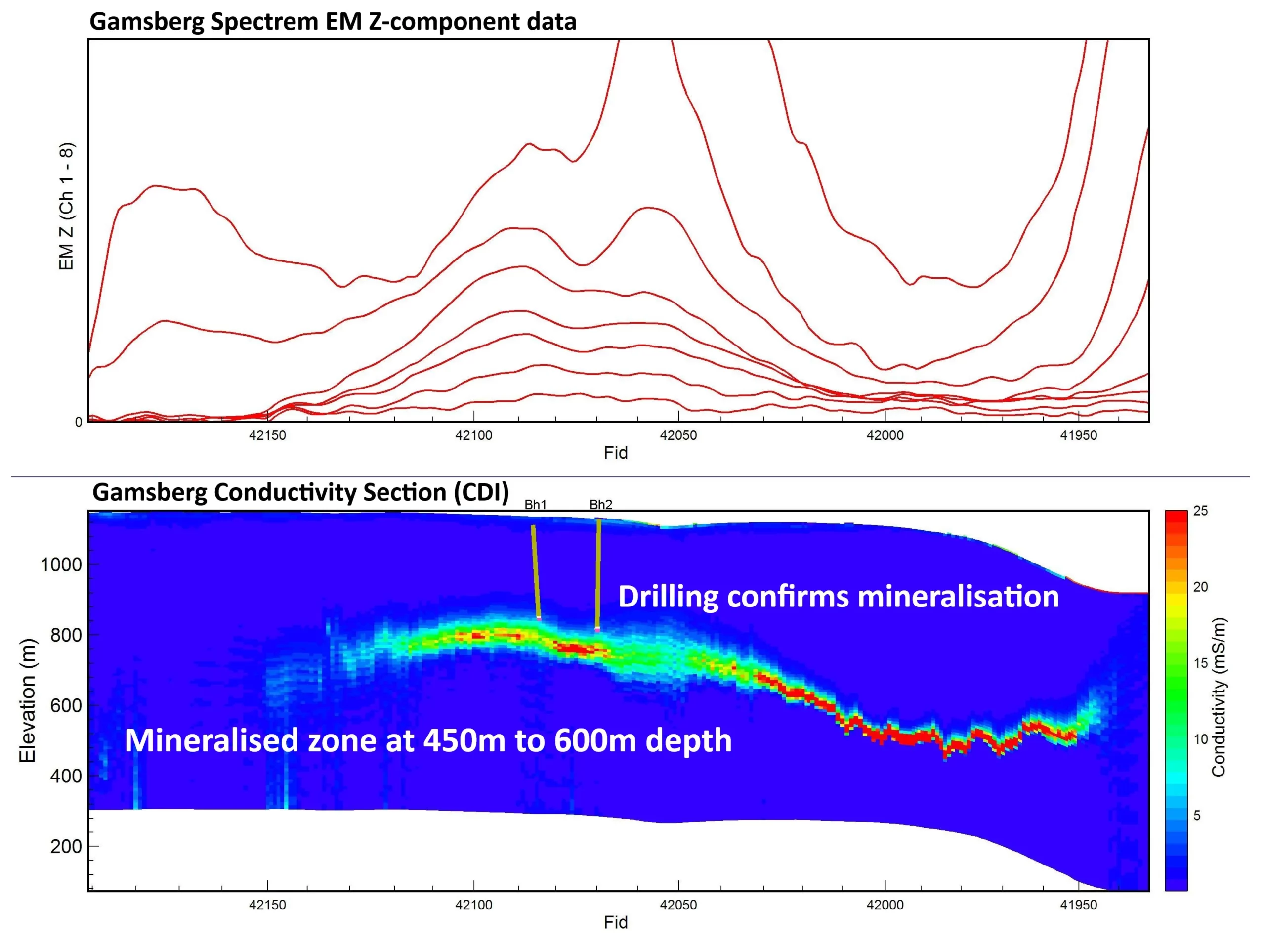

Most mineral deposits that are easily discovered near surface have already been found. Exploration teams increasingly need to understand geology deeper below the surface and below cover.

Airborne geophysics provides an efficient, non-invasive way to map these geological environments across large areas.

Within a short time after a survey is completed, exploration teams can begin analysing data that helps identify areas of geological interest and eliminate areas with low potential.

Spectrem Air systems are designed to map subsurface geological structures deeper than many other airborne systems.

Large areas can be surveyed quickly, allowing exploration teams to assess extensive ground early in the exploration lifecycle.

Airborne surveys collect data without disturbing the ground, making them suitable for sensitive environments.

Exploration teams receive geological information quickly, helping prioritise areas for follow-up work.